")
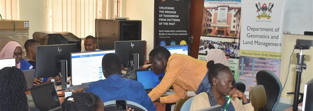
 The Department of Geomatics and Land Management, Makerere University, trains students in various Geomatics fields such as Land Surveying, Geographical Information Science/Technology, Remote Sensing and Image Analysis, Cartography, Mapping Science and Land Management. Although these disciplines are currently taught as part of the BSc land Surveying and Geomatics Undergraduate Degree Programme, our plan is to develop them as fully fledged stand alone programmes at both undergraduate and graduate levels. The Department shares the vision of the College of Engineering, Design, Art and Technology, which is to provide high quality Technological Education and Training, Research, Professional Services and Innovation for Sustainable National and Regional Development.
A career in Geomatics is a correct choice for ones academic and professional development in this modern world considering the fact that the geo-spatial industry is one of the fastest growing industries in the world. I hope that you will find this website relevant for giving you all the background information about our Department and Geomatics in general.
view our academic staff profiles
Programmes Offered at the Department