

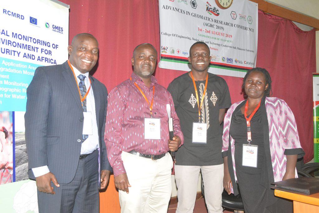
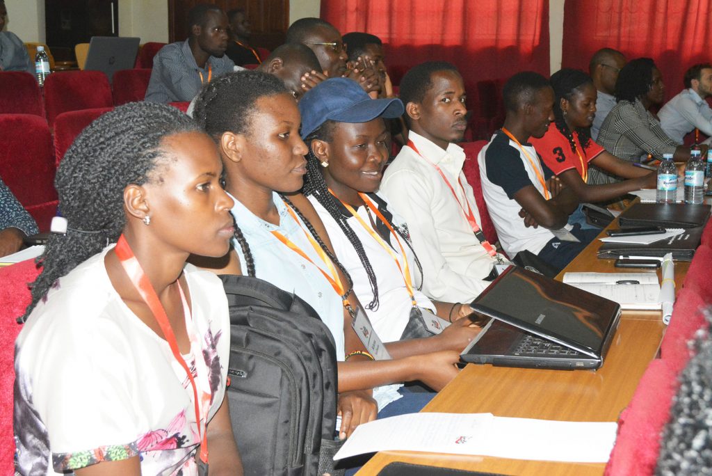
The College of Engineering, Design, Art and Technology on August 1st -2nd, 2019 hosted the fifth Advances in Geomatics Research Conference a two- day event that attracted a number of attendants from Africa and the rest of the world.
The conference, held under the theme “Geomatics for Development.” Was the Fifth Advances in Geomatics Research Conference (AGRC) 2019 building on the previous four conferences held in 2011, 2013, 2015 and 2017. The researchers registered growth in the number and quality of abstracts submitted. It was noted that this has without a doubt improved the level of Geomatics scholarship in the country and the region.
In his welcome remarks, the College Principal, Prof. Henry Alinaitwe applauded the conference organisers, saying the conference had come at a time when the College is celebrating 50 years of the existence of the Faculty of Technology and the Art gallery, a show of the strides the college has made towards research uptake.
Prof. Alinaitwe congratulated the leaders for nurturing and sustaining the conference for all these years. “The theme ‘ Geomatics for Development’ has come at a time when the country is facing a number of challenges such as land grabbing, encroachment on wetlands and reserves, environmental degradation and landslides,” he pointed out, emphasizing that these challenges must be addressed by researchers through influencing policy on these matters.
The conference received abstracts from academia addressing Geomatics practice in Kenya, Rwanda, Malawi, Sudan, Senegal, Morocco and Uganda. The Principal hopes that more collaboration bridges will result from it. He thanked all the stakeholders; Sponsors, International Society for Photogrammetry and Remote Sensing (ISPRS), Red Cross Society, Global Monitoring for Environment and Security and Africa (GEMS Africa) among others for the support and partnership.
Prof. Alinaitwe said the AGRC has been a rich recipe for significant support, collaborations and a breeding ground for identified talented students in addressing both regional and international challenges. “These investments are not in vain, it’s a partnership that will continue in the future,” he said.
Some of the issues addressed in the conference include Data use and protection, embracing the use of Artificial Intelligence, Remote sensing, spatial data, Fit- For -Purpose approaches among others. Prof. Tony Ayono, the Principal College of Computing and Information Sciences at Makerere University stressed the need for emerging economies to embrace artificial intelligence. He, however, noted that artificial intelligence has a number of ethical challenges which are common mistakes such as privacy, security, ethical, legal data protection and open versus closed data; data protocols must ensure data protection and privacy.
While discussing the status of the Global Navigation Satellite System (GNSS) technology infrastructure and applications in Africa, Ms. Agnes Kobusingye said that most African states have plans of using GNSS in the implementation of Performance Based Navigation (PBN) in the aviation sector. Africa is a follower in terms of Postlethwaite&Netterville (P&N) technologies. There is need to build capacity as a prerequisite and key success factor.
Ms. Milly Mbuliro from Nile Basin Initiative (NBI) addressed the issue of remote sensing as used in covering the water levels, however, remote sensing is only used on the larger water basins. “What remains as a challenge in human capacity is to process data to generate information for policy makers,” Ms. Mbuliro explained.
There is also need to understand land and how it concerns people by for example defining national land policy, land use planning among others. This can easily be done through the use of ‘Fit-For-Purpose’ approach. The idea behind the Fit- for- Purpose approach is that land administration should be designed to meet the needs of the people and the environment. Dr Emmanuel Nkurunziza the Director General RCRMD explained the influence modernizing land administration system would have for instance through digital cadaster and land registry, simplified land transaction procedures and reduced land transaction costs such as through mobile phone query among others. Dr. Nkurunziza said that this approach has had a profound impact in Rwanda; where they would take 371 days to register land, today it only takes one day.
Professor Moses Musinguzi, The Dean School of the Built Environment CEDAT, showed the role of legal and regulatory framework in the use of spatial data. Some of the roles include providing direction and guidance, dispute over data ownership and mandates, and dispute over coordinating agencies. He, however, noted that there is limited use of spatial data in planning, implementation, monitoring and evaluation of development program.
Associate professor Anthony Gidudu, the Head of Department of Geomatics and Land Management, appreciated all the stakeholders, partners and sponsors of the conference. He said the College and the University community hopes that they shall continue to promote Geomatics Scholarships and more importantly address the societal developmental challenges.
The fifth Advances in Geomatics Research Conference AGRC 2019 came after a number of pre-conferences for example ISPRS summer school, Humanitarian Mapping among others. These acted as curtain raisers for the conference.
The range of subjects covered include Geomatics Information Systems, Remote Sensing Applications, Global Navigation Satellite Systems, Drone technology and Land Management.
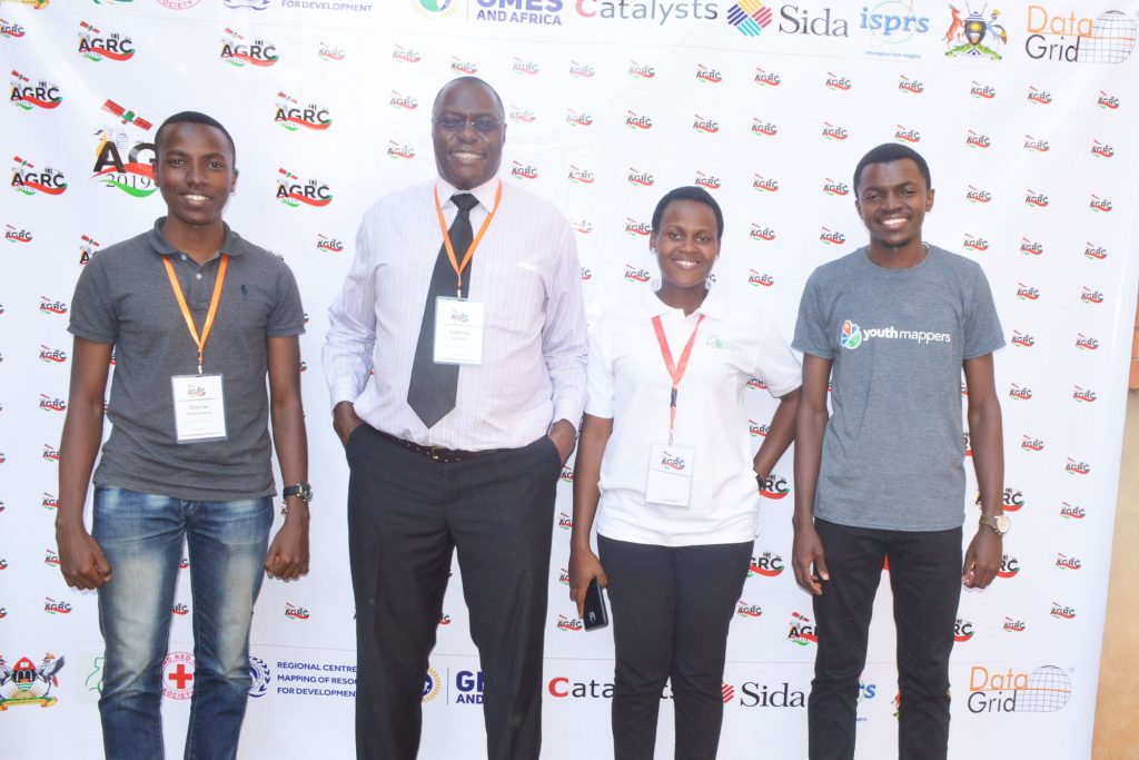
Universities are supported through a program called Youth Mappers. The program supports university efforts to offer meaningful global learning experiences, build a socially engaged citizenry and enhance long-term scientific capacity. Currently Youth Mappers is in 42 countries, 154 campus chapters and 5,000 Universities in the whole world.
Story by: Elizabeth Namara