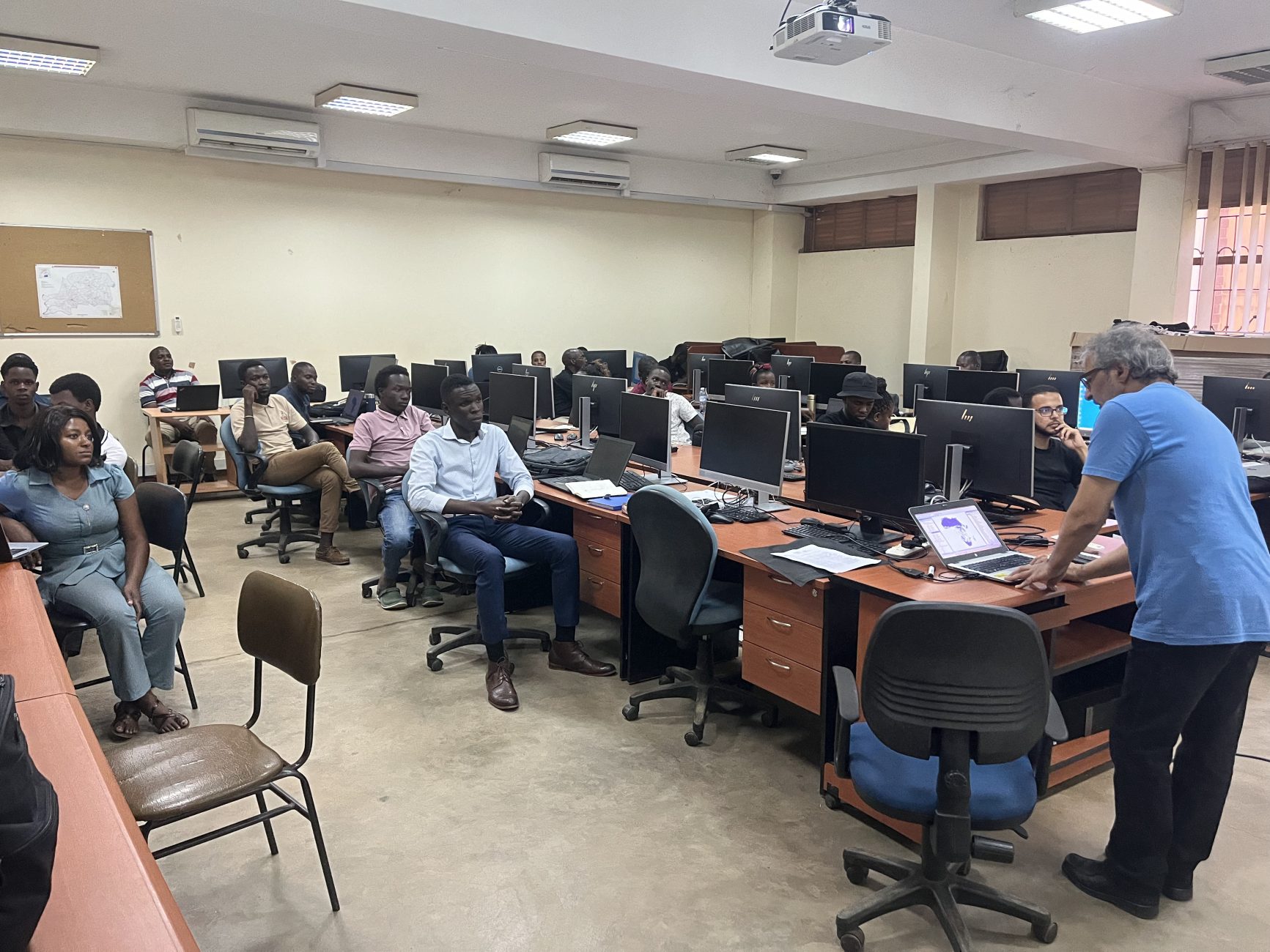
Hardware and Software
The centre is well equipped with numerous hardware and software. These include:
- Software: ArcGISPro, ENVI, ERDAS Imagine, Idrisi Selva, QGIS, gvSIG, Map source. The team in the GIS Centre has excellent proficiency in the use of Data and Information Access Services (DIASes) such as google earth engine, Dunia, Digital earth Africa for Geospatial big data analysis
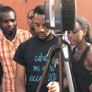
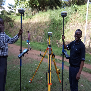
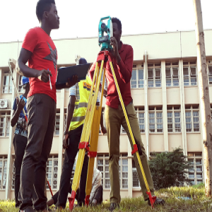
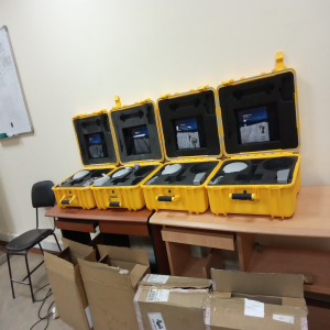
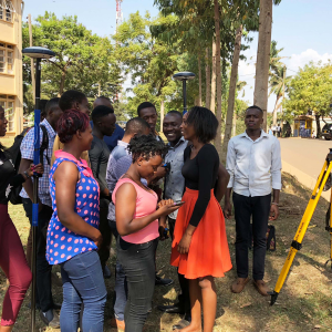
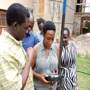
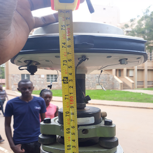
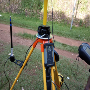
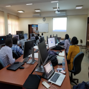
- Hardware: 40 high-end computers, 1 Unmanned Aerial Vehicle, RTK GNSS kits, Handheld GPS kits, Laser scanner, total stations, I A4 printer and scanner, 1 A0 map plotter, 1 A0 scanner, 1 projector, 1 map cabinet, A4 scanner
![](https://cedat.mak.ac.ug/giscentre/wp-content/uploads/2024/04/20240412_135918230_iOS-1733x1300.jpg)
![8](https://cedat.mak.ac.ug/giscentre/wp-content/uploads/2020/09/8-300x300.png)
![5](https://cedat.mak.ac.ug/giscentre/wp-content/uploads/2020/09/5-300x300.png)
![1](https://cedat.mak.ac.ug/giscentre/wp-content/uploads/2020/09/1-300x300.png)
![2](https://cedat.mak.ac.ug/giscentre/wp-content/uploads/2020/09/2-300x300.png)
![10](https://cedat.mak.ac.ug/giscentre/wp-content/uploads/2020/09/10-300x300.png)
![9](https://cedat.mak.ac.ug/giscentre/wp-content/uploads/2020/09/9-300x300.png)
![6](https://cedat.mak.ac.ug/giscentre/wp-content/uploads/2020/09/6-300x300.png)
![3](https://cedat.mak.ac.ug/giscentre/wp-content/uploads/2020/09/3-300x300.png)
![7](https://cedat.mak.ac.ug/giscentre/wp-content/uploads/2020/09/7-300x300.png)