Project: Methodology To Inform Compensation On Road Infrastructure Projects
THE CHALLENGE
The government has consistently paid more than budgeted for and anticipated on road projects leading to delayed and incomplete projects and continuous litigation. These issues arise out of escalating costs linked to poor monitoring of the road corridor from inception to project actualization. Inability to collect this information has resulted in escalated claims on developments made alongside the road corridor from the time of project initiation. In addition, there is a lack of appropriate technological solutions to facilitate rapid and frequent data capture and processing. In this regard, the use of drones for scientific purposes in Uganda is limited.


THE OPPORTUNITY
Drones can be used to capture imagery before, during and at the end of a project. This can lead to accurate, timely and adequate information on properties within these corridors. Consequently, costs can be reduced and projects pushed further by curbing delays and minimizing costs resulting from high compensation claims through evidence-based compensation using drone technology. This undertaking can also create a generation of drone experts through capacity building to handle all applications of the technology in various fields, making it replicable for other infrastructure developments e.g., energy, oil, gas, ICT and water.
THE SOLUTION
Using drone technology to periodically capture up to date data on developments within the road corridor. This is meant to facilitate compensation estimations based on reliable data. This is done by building capacity on scientific and applied usage of drone technology amongst the identified stakeholders and Makerere University. It is envisaged to curb delays, reduce costs resulting from high compensation claims and foster faster project implementation in line with Vision 2040 fundamentals and harnessing opportunities particularly infrastructure for transport.
WORKSHOPS
-
Workshop 1: Stakeholder workshop on drone obligation
-
Workshop 2: Validation of technical and legal operations framework
-
Workshop 3: Copter based drone-based mapping
-
Workshop 4: Drone Image Analysis
-
Workshop 5: Archiving and updating of drone imagery
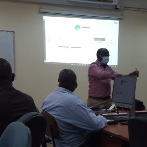
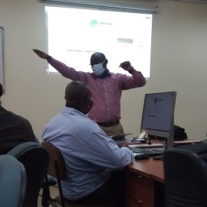
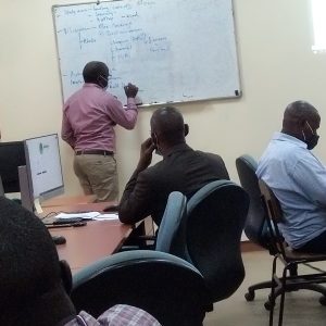
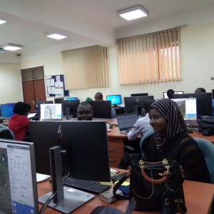

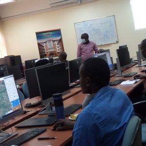
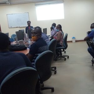
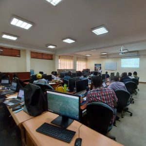
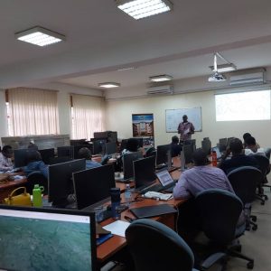
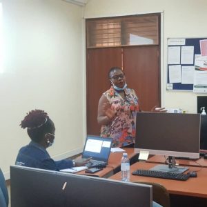

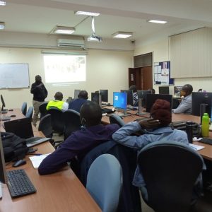
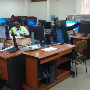
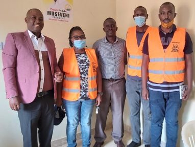
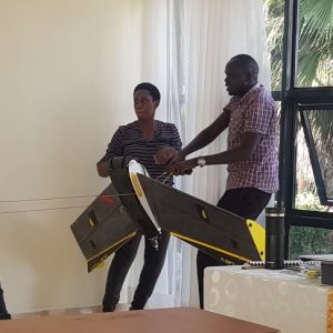
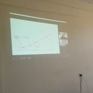
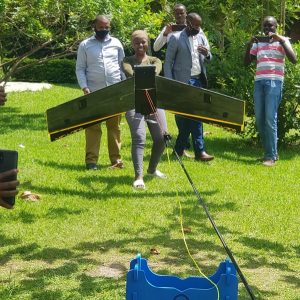
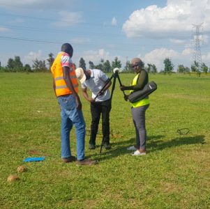
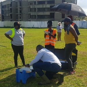
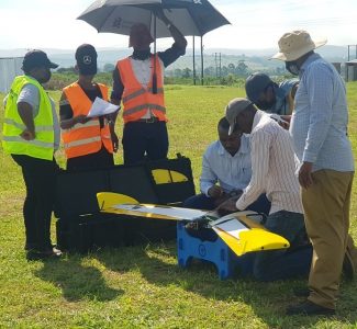
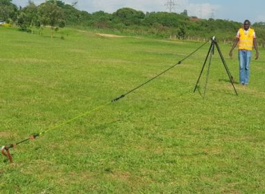
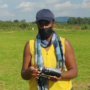
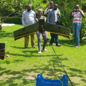
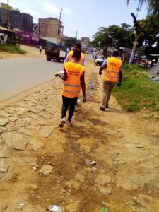
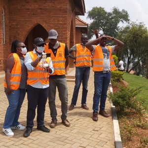
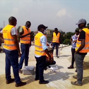
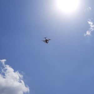
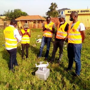
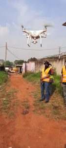
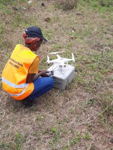
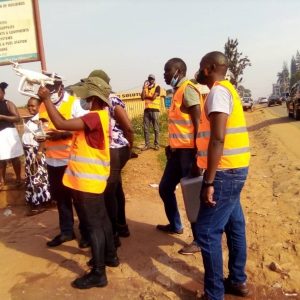
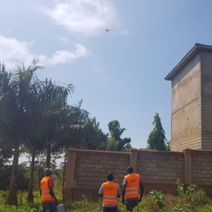
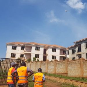
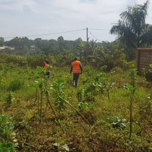
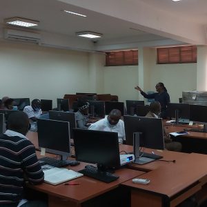
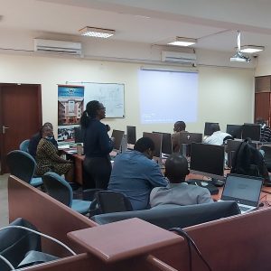
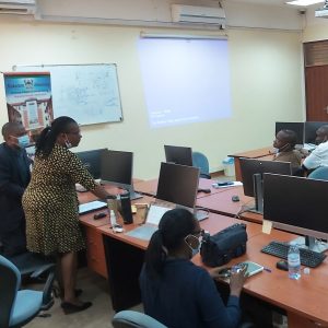
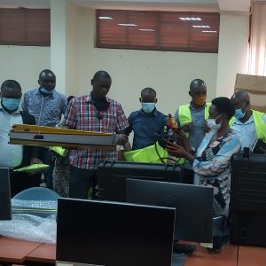
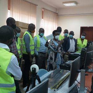
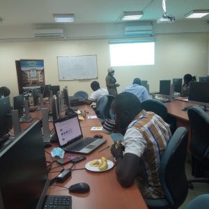
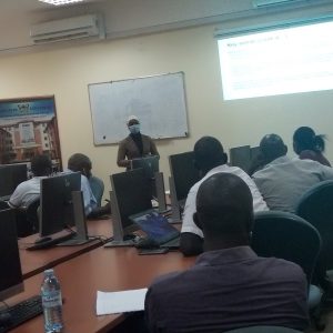
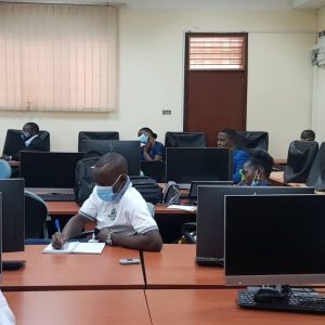
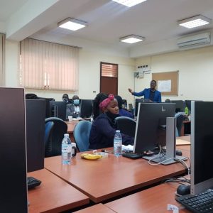
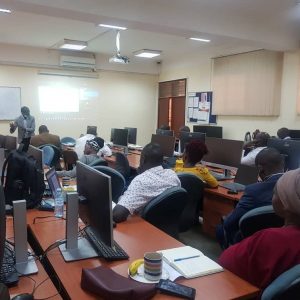
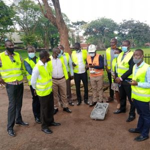
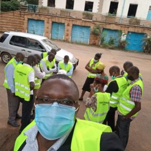
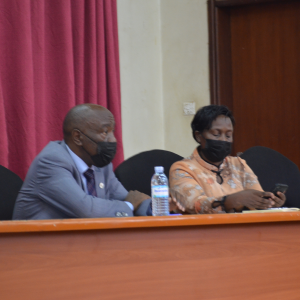
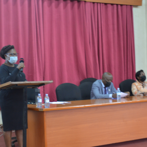
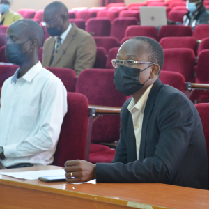
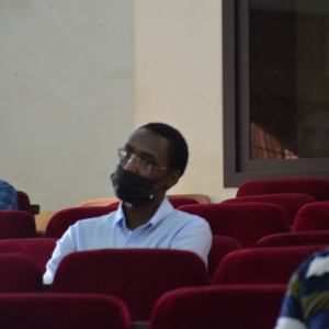
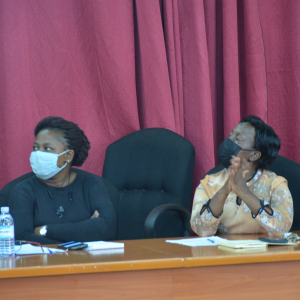
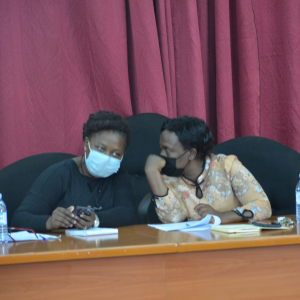
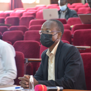
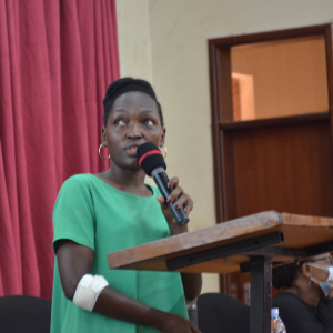
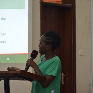
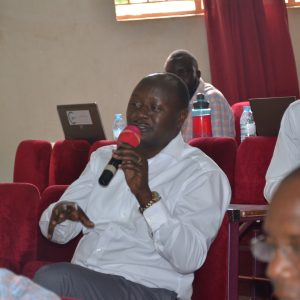
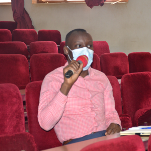
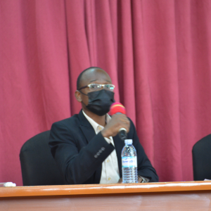
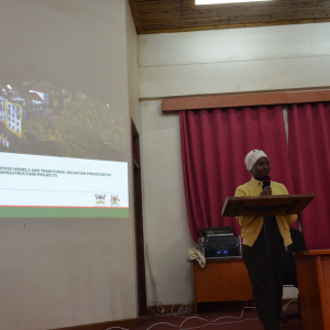
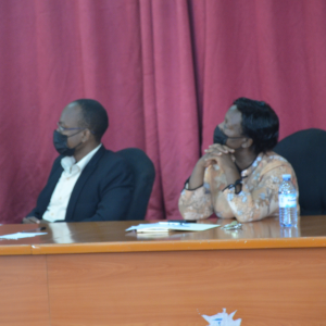
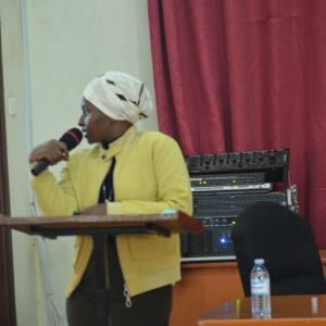
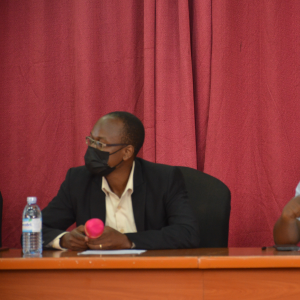
EVENTS IN PICTURES
THE MAK-RIF DRONE PROJECT DISSEMINATION SEMINAR


AGRC2021 PRESENTATIONS
https://youtu.be/eb4ABZi_PjUhttps://youtu.be/YsnHxGe0siQhttps://youtu.be/F_OudGYZnEg

Government of Uganda
Makerere University Research and Innovations Fund
(Mak-RIF)
Funded and Supported by the Government of the Republic of Uganda
Makerere University
RESEARCH SCHOLARS

Name: Barbarah Agume
Supervisor: Prof. Moses Musinguzi
Project: Investigating the operational environment for using unmanned aerial vehicles in road infrastructure projects in Uganda
Major projects are carried out in the country with significant cost and time overruns hence the need to examine the projects in terms of the technology used. Innovative technologies like UAVs can be improve project efficiency leading to faster, higher quality, less costly project implementation with more enhanced safety standards. This project looks to generate baseline information on factors affecting drone usage in infrastructure projects in Uganda. This will be done through questionnaires using the KAPS model, developing a comparison criterion for regulatory frameworks and document reviews. This is necessary for informing future policy formulation. The expected outcomes are perceptions of stakeholders towards UAVs and factors that may promote or constrain use of UAVs. In addition, information will be gathered on the regulatory framework including how supportive it is or isn’t and the existing gaps. In order to explore opportunities for use of UAVs, the possibilities on how UAVs can be utilized will also be documented.

Name: Charles Akuku
Supervisor: Dr. Lydia Mazzi Kayondo
Project: Modelling Innovation Solutions for Unmanned Aerial Vehicles (UAV) Usage on Infrastructure Projects in Uganda
The process of road construction starts with compulsory land acquisition, design and later implementation of the design. The land acquisition stage requires extensive data collection and detailed mapping of all features within the infrastructure corridor. The process is usually impeded by delays and cost overruns that arise from use of traditional data capture techniques and exaggerated compensation demands. This research aims to address some of the challenges associated with the traditional/conventional techniques like inability to collect timely data, by exploring the use of UAVS. The project involves review of documents on application of UAVs, capturing data in a project corridor using a UAV, processing the data, generating models and then validation of these. Expectations are development of an operational framework that can be easily adopted, 2D/3D models to aid in identification of parcels and property and a comparison of the geometrical results from drone technology and traditional techniques.

Name: Khadijah Kintu
Supervisors: Dr. Lydia Mazzi Kayondo and Dr. Nathan Kibwami
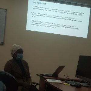
Project: Evaluation of The Use of UAV Models in Rapid Valuation for Compensation on Road Infrastructure Projects
The current conventional valuation process used on road infrastructure results in the government consistently paying more than budgeted for or anticipated on road infrastructure projects. This research seeks to innovate a methodology using drone technology to monitor project area, capture data and provide readily accessible information for valuers at any time. The aim is to minimize delays and reduce costs incurred resulting from the valuation process. UAVs will be used to capture property details over the areas of interest, which would have otherwise be done using traditional techniques. The data will be processed producing 2D and 3D models from which properties can be valued. The research will explore how much drone technology informs the valuation process and the importance of the details captured in the valuation process. A scientifically based comparison between UAV technology and traditional techniques for valuation will also be documented.