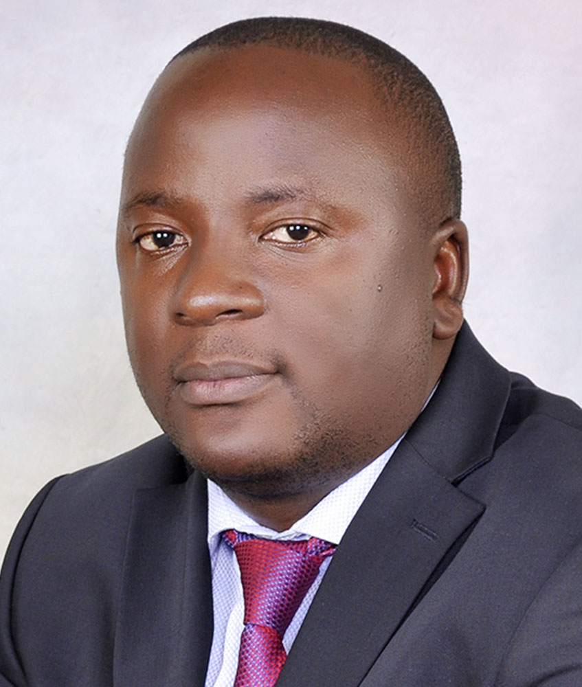
| Name: | Dr. Ronald Ssengendo |
| Designation: | Lecturer |
| Department: | Geomatics & Land Management |
| Research Interests: | Geoid Modelling, Height systems and GNSS/levelling, Responsible Land Administration, FFP & Pro-poor Land Registration systems |
| Courses Taught: | Land Law for Surveyors, Physical Geodesy, Advanced Satellite Positioning, Space Geodesy, GNSS & Mobile GIS, Advanced Geovisualization & Map Projections |
| E-mail: | rssengendo@cedat.mak.ac.ug r.ssengendo@yahoo.com |
| Telephone Number: | +256784614675 |
Professional Qualifications
| 2010-2015 | Royal Institute of Technology, Sweden PhD (Geodesy & Geoinformatics with specialisation in Geodesy) Title of thesis: “A height datum for Uganda based on a gravimetric quasigeoid model and GNSS/levelling” |
| 2008-2009 | The University of Nottingham; MSc Engineering Surveying & Geodesy (With Distinction) |
| August 2004 | Kenya Institute of Surveying and Mapping; Certificate Global Navigation Satellite Systems (GNSS) |
| 1999-2003 | Makerere University; BSc. Surveying (First Class Honours) |
| 1997-1998 | Old Kampala S.S.S; Uganda, Advanced Certificate of Education (UACE) |
| 1993-1996 | Old Kampala S.S.S; Uganda Certificate of Education (UCE) |
MEMBERSHIP TO PROFESSIONAL INSTITUTIONS
- President of the Institution of Surveyors of Uganda (2018-2021)
- Registered Surveyor of Uganda (RSU)
- Fellow of the Institution of Surveyors of Uganda (FISU)
RESEARCH PUBLICATIONS
- Ssengendo, R., Sjöberg, L.E, Gidudu, A., 2015, A new height datum for Uganda. Presented at the 3rd Advances in Geomatics Research Conference, Makerere University, Kampala, Uganda, 6-7 August, 2015.
- Ssengendo, R., Sjöberg, L.E, Gidudu, A., 2015, The Uganda Gravimetric Geoid Model 2014 computed by the KTH Method. Journal of Geodetic Science, 2015, 5: 35-46.
- Ssengendo, R., Sjöberg, L.E, Gidudu, A., 2015, Computation of the Gravimetric Quasigeoid Model over Uganda using the KTH Method. Proceedings of the FIG Working Week 2015, Sofia, Bulgaria, 17-21 May, 2015.
- Ssengendo, R., 2012, Young surveyor’s vision for the future of the surveying Profession. First FIG Young Surveyors Conference, Knowing to create the Future Rome, Italy, 4-5 May 2012.
- Ssengendo, R., Sjöberg, L.E, Gidudu, A., 2011, Evaluation of EGM08 in Uganda: Preliminary results. 1st Advances in Geomatics Research Conference, Makerere University, Kampala, Uganda, August, 2011.
- Ssengendo, R., Sjöberg, L.E, Gidudu, A.,2011, Geoid Determination in Uganda: Current Status. Advances in Engineering and Technology Conference, Entebbe Uganda, February, 2011.
- Ssengendo, R., 2009, Code Multipath effects at BIGF CGPS stations, MSc Dissertation, The University of Nottingham, September, 2009.
